Satellite technology Prinoth, efficiency on the ski slopes
Prinoth and Leica Geosystems have forged a strategic partnership for more efficient management of ski piste through the direct and precise measurement of snow depth.
Leica Geosystems is a global provider of measurement known internationally for quality visualization technologies and solutions for detecting topographic features and Prinoth is a Northern Italian based company, a leading producer of snow grooming machines and tracked utility vehicles. With the new agreement, Prinoth has chosen the proven technology of Leica Geosystems to equip its new snow groomers with iCON alpine 3D machine control to substantially reduce fuel consumption and exhaust emissions. The Primoth decision, in fact, was based on Leica Geosystems technology which allows snow depth to be measured in real time with iCON software adapted for operating on snow cover.
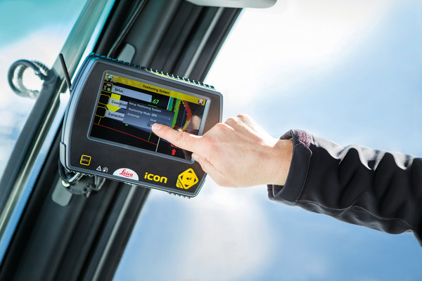
Measurements are based on a 3D model of the lay of the land without snow followed by the iCON alpine system elaboration of data which are immediately visualized on a display inside the cab of the groomer. Relying on the data transmitted in real time by a GPS antenna and angle sensors, the operator can then perfectly groom the piste.
This way of operating leads not only to savings in time and costs but also increased safety and lower energy consumption as well as respect for snowfall and greatly improved impact on the environment. The data gathered on snow depth by the satellite based system can also be exchanged to provide ongoing information on the state of work on the piste. The data can be transferred in real-time via a web server to and from any third party GIS snow management solution, such as Alpine PRO, for detailed analysis of snow height and management. Prinoth snow groomers are already factory equipped with the Leica Geosystems Ready-Kit to be configured and put into operation by the end-user.

